


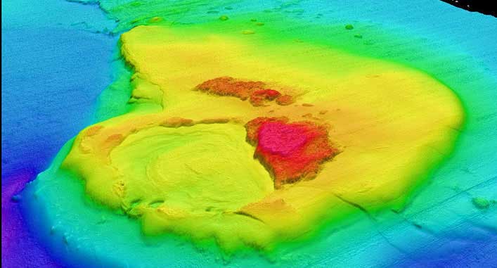
Desktop studies
We can deal with questions regarding site suitability based on geological and geophysical data for seabed structures, jackets and pipeline and cable installation. We advise our clients on how to optimise cable and pipeline routes, shore approach techniques and hazard mitigation methodologies.
- Site Suitability Assessment
- Route Selection / Optimization
- On bottom stability
- Free span analysis
- Scour assessment & mitigation
- Shore Approach
- Risk Assessment / Hazard Mitigation
- Etc.
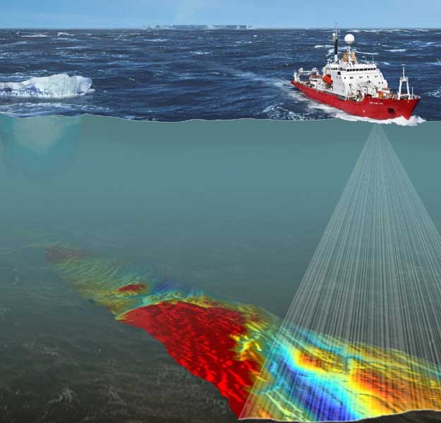
Site Investigation and Laboratory Testing
Whether it comes to planning of (additional) site investigation or identifying the risk associated with soil data quality, we are ready to advise our clients based on:
- Minimum requirements according to standards
- Geophysical and geotechnical data quality
- Suitable techniques and equipment according to project requirements
- Level of detail according to project/design phase
- Data interpretation and laboratory testing strategies
- Risk mitigation solutions
- Minimum requirements according to standards
- Geophysical and geotechnical data quality
- Suitable techniques and equipment according to project requirements
- Level of detail according to project/design phase
- Data interpretation and laboratory testing strategies
- Risk mitigation solutions
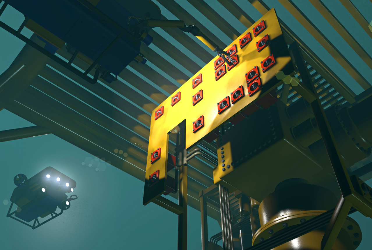
Equipment selection for installation
When it comes to installation of structures, pipelines and cables, we prepare survey procedures and interpret survey data during execution. We also advice on trenchers and other installation tools and techniques based on soil properties. For mooring systems, we assess the soil properties in order to design the temporary or permanent anchoring system safely and with the maximum efficiency.
- Positioning & Survey Methodology, Procedures and Interpretation
- Trenching / Burial Assessment & Procedures
- Installation Methodology
- Equipment / Installation tool selection
- Anchoring System Design
Foundation Design
Based on supplied geotechnical data and reporting we are capable to decide on the constitutive soil model and derive the respective design parameters for deep and shallow foundation design. More specifically:
- Determine the axial and lateral pile capacity in compression and tension based on various load cases
- Perform pile drivability analyses (software: GRLWEAP)
- Design temporary shallow foundations (mud mats) and foundations for seabed structures (software Optum G2 and G3)
- Design of temporary and permanent anchoring systems
- Predict the penetration of spudcans and spudpiles